
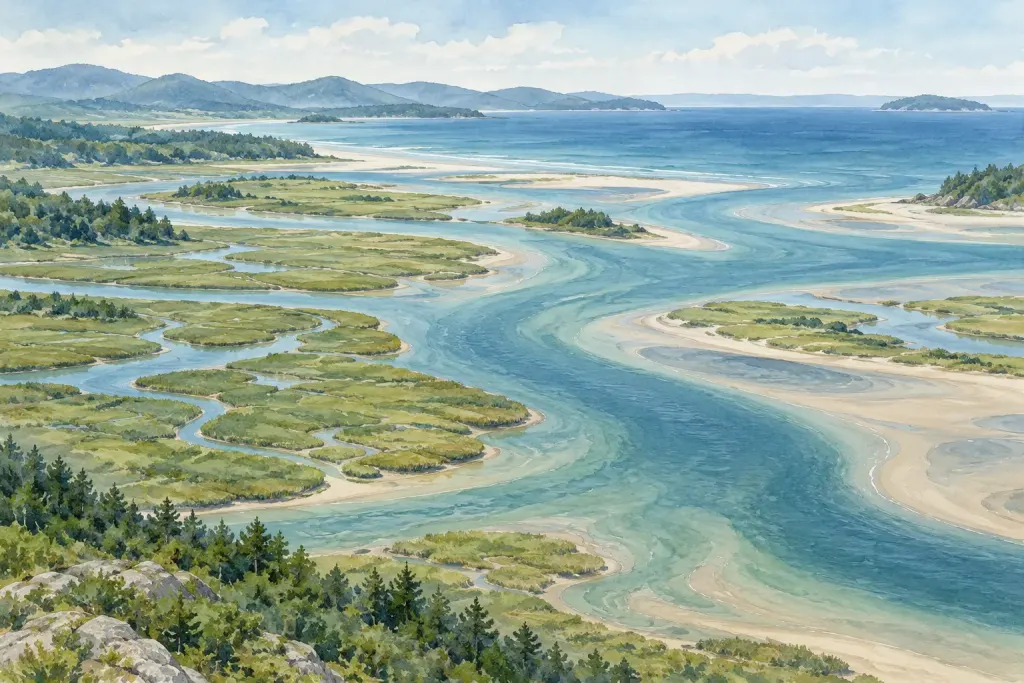
From a distance, a wide river mouth can look like a gap between more interesting places. Look again at the channels, wet ground and vegetation around it. The meeting of river and sea is itself a habitat, with connections extending well beyond the water visible in one photograph.
What makes an estuary?
NOAA’s introduction to estuaries describes the familiar coastal case: freshwater draining from land mixes with seawater, creating brackish conditions. The surrounding wetlands are part of the story, supporting communities adapted to this meeting of waters.
The definition has an important qualification. Some systems, including freshwater estuaries around the Great Lakes, involve river water mixing with lake water rather than seawater. “Estuary” therefore deserves a little more care than simply labelling any photograph of a river mouth.
Think in connections
Many animals use estuaries for feeding, breeding or migration stopovers. Wetlands can filter runoff, and sheltered habitats can provide nursery areas. These general functions do not tell us the condition of a particular estuary; that requires local evidence.
A useful reading exercise is to draw three boxes on a page: upstream, shoreline and sea. Add a question beneath each. What reaches the river from the land? Which habitats border the water? How does the estuary connect with the coast? The drawing is a question map, not a hydrological model.
A photograph is a starting point
A brown patch might prompt a question about sediment, but colour alone cannot establish pollution. A green margin might invite a closer look at vegetation, but an image is not enough to identify every plant. Note what is directly visible and keep your interpretation in a separate sentence.
For example: “Several branching channels are visible” is an observation. “This must be an untouched estuary” adds a claim the image cannot support. The difference matters when learning from travel pictures, maps or conservation reports.
Keep exploring the shoreline
Our introduction to the intertidal zone looks at another coastal boundary. Both topics reward the same habit: notice the relationships first, then look for evidence before deciding what they mean.