
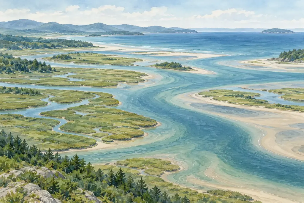
A mangrove shoreline can first appear as a wall of trunks and roots. Looking more carefully from an authorised path reveals a space where water, sediment and living things meet at a very small scale.
Roots in a changing setting
NOAA’s mangrove introduction describes trees and shrubs of the coastal intertidal zone. Root systems can slow water movement and encourage sediment to settle, while providing shelter used by fish and other organisms.
Different mangroves do not all share one identical root form. Avoid using a single photograph as a complete description of every mangrove forest.
Observe without entering the roots
From a permitted viewpoint, notice where water is visible, where sediment is exposed and where roots create gaps. Sketch three features rather than trying to identify every organism.
Keep a distinction between seeing a small animal use a gap and claiming that you have measured the habitat’s ecological value. The second question requires much more evidence.
Connect the small view to the shoreline
Record the time and available local tidal context. A later view may show a different relationship between water and exposed roots.
Our article on estuaries provides a wider setting. The root tangle becomes easier to understand when it is seen as part of moving coastal processes rather than decorative scenery.