
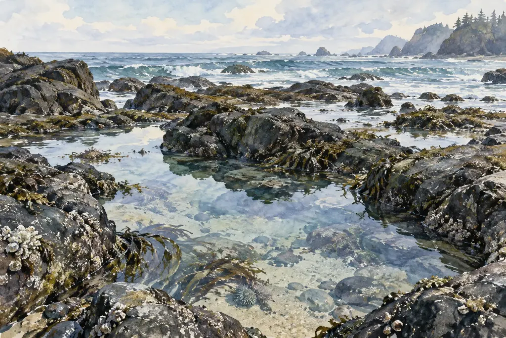
You return to a favourite lookout and the shoreline seems completely different. The water is farther out, a patch of sand is visible, and a channel looks wider. Before calling it erosion or recovery, check what has changed between the two visits.
A short photo note can preserve the context needed for a fairer comparison.
Keep a repeatable viewpoint
Use an accessible public viewpoint where photography is allowed. Describe the direction and a stable landmark so you can understand the framing later. Do not move into hazardous terrain or disturb wildlife to match an earlier image.
A slightly imperfect comparison from a safe place is preferable to a risky attempt at identical framing.
Record time and observable conditions
Note the date, local time, broad weather conditions and what you can directly see. If you add tide information, record its source and relevant station rather than estimating an exact tide height from the photograph.
Separate observed details from background information you looked up afterward.
Describe the difference without naming its cause too soon
“More sand is exposed beside the channel” is an observation. “The beach is growing” is a larger interpretation that may require repeated measurements and expert context.
Look for changes in viewpoint, water level, lighting and recent conditions before comparing the apparent outline of the shore.
Preserve the sequence
Keep the original date information and a consistent filename or catalogue entry. A pair of photographs becomes more useful when its limitations are recorded rather than hidden.
This is a personal observation exercise, not an official monitoring method or evidence that a coastal process has been measured. Read how tides change the shoreline’s appearance for a starting context. The extra lines beside the photo may eventually be as valuable as the image itself.