
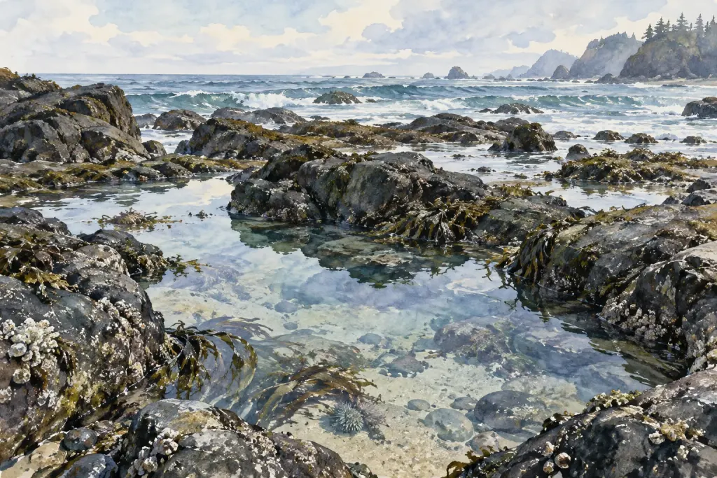
A patch of shoreline can look very different from a raised promenade and from a permitted path closer to the water. Before comparing two visits, record where you stood. The viewpoint is part of the observation, not merely a detail about the walk.
Use a repeatable description
Write a public landmark and the position relative to it, such as “beside the information board on the upper path.” Avoid moving into restricted or hazardous areas to reproduce an old photograph. A safe, accessible viewpoint is more useful than a perfect match obtained at unnecessary risk.
Describe what the position lets you see and what it hides. A wall may block the near waterline, while a distant view may conceal small surface details. Record those limits before comparing the visible area.
Compare like views where possible
At a later visit, use the same location and similar framing if conditions allow. Still note the time and visible conditions. A matched viewpoint reduces one source of difference; it does not prove that every remaining change is environmental.
Finish with a narrow statement about the area you could observe. This practice helps a personal coastal notebook become a record that can be revisited, rather than a collection of impressions whose viewing conditions have been forgotten.