
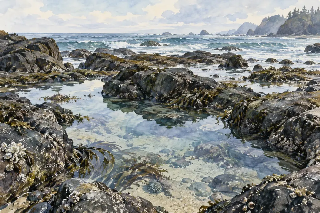
A patch of deep blue on an ocean map can look like a photograph of dark water. On a bathymetric map, the colour may instead represent depth. Reading it as scenery misses the terrain that the map was built to describe.
Find the quantity in the legend
NOAA’s introduction to bathymetric data explains how underwater depths can be represented through colours and depth contours. The subject includes lakes and rivers as well as the ocean. These maps describe the shape beneath the water rather than simply its surface appearance.
Before following a colour, find its unit and the values assigned to it. Do not assume that the darkest patch means the same thing across two products. A legend belongs to its own map, and a missing legend limits the comparisons you can make.
Read a small area instead of the whole ocean
Choose one bay or offshore patch in an educational map. Follow a contour label and note where nearby contours sit closer together. Describe the pattern you can see before explaining what created it.
For a notebook exercise, write “the depth contours are more closely spaced along this edge” rather than naming a geological process from colour alone. Keep the map title, scale and link beside the observation. A neat cropped image is less useful when its reference information has disappeared.
Ask where the detail came from
Read the data notes for survey methods, coverage and the age of the information. A smooth-looking surface does not tell you, by itself, how closely every part was measured. Treat an educational view as a way to ask better questions; use appropriate official navigational products and current guidance for navigation.
You can pair this exercise with reading a coastal habitat map. The two maps answer different questions: one may describe underwater relief, while the other classifies habitats. Keeping those purposes separate makes their eventual comparison more interesting, because you can name exactly what each layer contributes.