
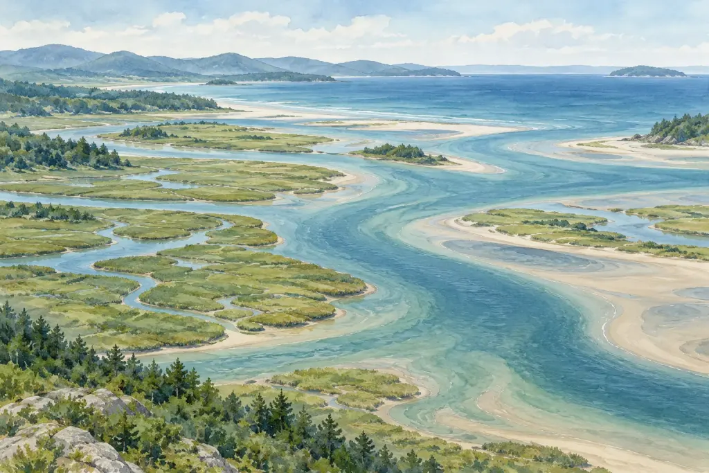
A map colours one area as one habitat and the neighbouring area as another. At the shore, the transition may look gradual, mixed or difficult to see from your viewpoint.
Describe the visible change
From an authorised path, note what changes across the view: surface texture, vegetation cover, exposed sediment or standing water. Use these observations before assigning a habitat label.
A distant viewpoint may hide small features. Do not cross restricted ground or disturb vegetation simply to make the description more certain.
Compare with the map’s purpose
Read the legend, date and mapping method. A broad regional map may deliberately simplify features that a detailed site survey distinguishes.
If the visible scene does not match the map neatly, record the difference as a question. It might reflect scale, timing, classification or a genuine change; the photograph alone does not decide which.
Use words that preserve uncertainty
A note such as vegetation becomes patchier toward the water states an observation. A claim that a habitat has disappeared requires stronger evidence and a suitable comparison over time.
Our guide to reading habitat maps provides the background. Treating a boundary as something to investigate helps connect a simplified map with the more complicated place it represents.