
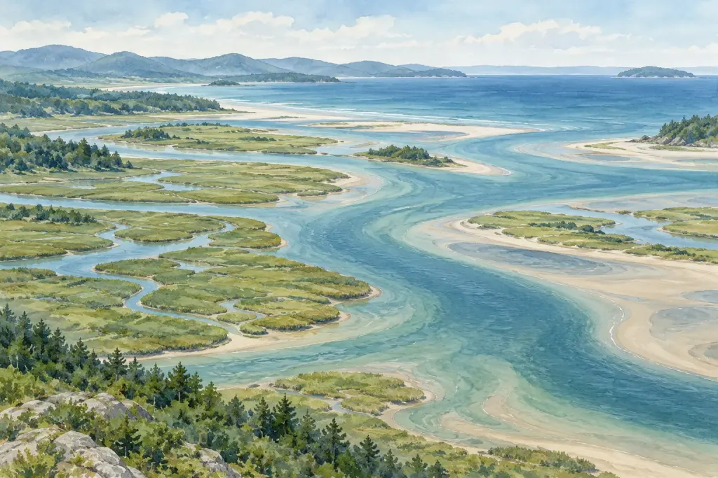
The edge of the sea is not the beginning of everything that reaches it. Adding a watershed to a coastal map reveals connections that a narrow strip of shoreline leaves outside the picture.
NOAA describes a watershed as the land area that channels rainfall and snowmelt towards waterways and outflow points. The relevant area can extend far inland, across places that do not look coastal at all.
For a map-reading exercise, choose a named bay and find an official catchment map. Trace one river upstream and note the boundary used by the map. Do not assume a municipal border is also a drainage boundary.
Make two sketches: the shoreline as a destination and the catchment as a connected area. Label roads or settlements only if the source map identifies them. A sketched connection does not establish the route of a particular pollutant or the cause of a local water-quality result.
Finish with a question that the wider view makes possible: which upstream places belong to the same drainage system, or where would an appropriate monitoring record be found? The exercise changes the scale of attention. A coast becomes part of a land-and-water relationship rather than an isolated edge on a postcard.
Editorial illustration from the site’s image collection.