
Where you can safely reach the shore shapes what you are able to notice. A notebook that records only the beach itself can hide the selection created by its access route.
Mark the permitted path and observation point on a rough sketch. Note barriers, closures and the areas you could not see. Do not treat an inaccessible stretch as empty of wildlife or debris simply because it falls outside your visit.
Record the route that made the view possible
Imagine two observers arriving at opposite ends of a bay. One sees a sheltered inlet; the other remains beside an exposed promenade. Their accounts may differ because they covered different places, not because one observed badly.
For repeat visits, use the same accessible viewpoint when practical and record any change. A temporary closure or altered path is useful context, especially if it moves you farther from the water.
Keep the entry descriptive. Public access is not permission to cross habitat barriers, private land or dangerous surfaces. Follow current local signs and conditions rather than an old notebook route.
This small method note improves later comparisons: you know what area the observation represents and what remained outside it. A modest, clearly bounded account is more useful than a sweeping description of “the whole beach” based on one convenient entrance.
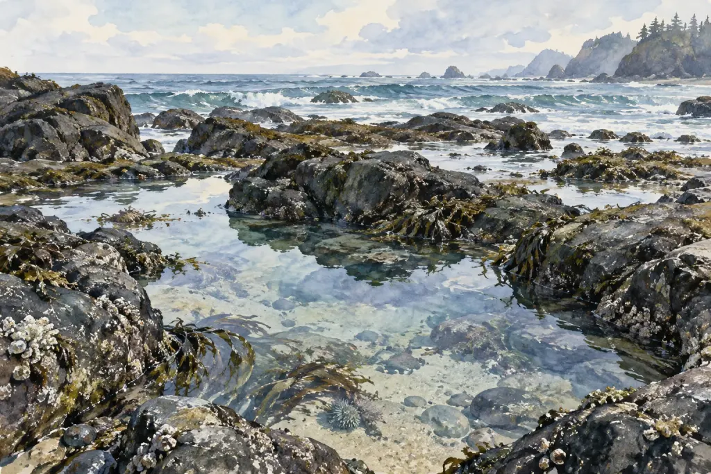
Editorial illustration from the site’s image collection.